Supercell Sunday (Sorta)
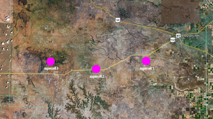
The NWS Albuquerque office and the NWS Storm Prediction Center were calling for possible severe thunderstorms in extreme northeast New Mexico on Sunday, so I loaded up my camera and the dogs in the truck and drove 228 miles to Texline, Texas, to do a little storm chasing. There was scattered but loosely organized convection all being lit from the front as we approached from the west, so not a lot of detail could be discerned in the storms.
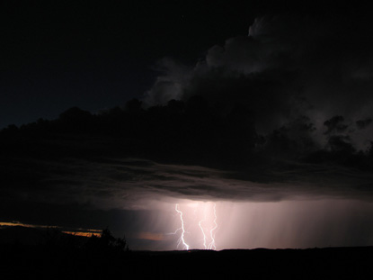
08/27/2006 @ 06:08:35 PM MDT
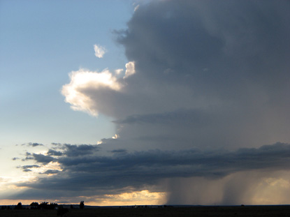
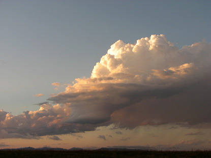
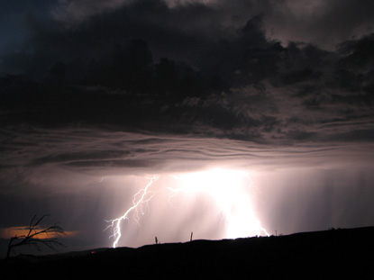
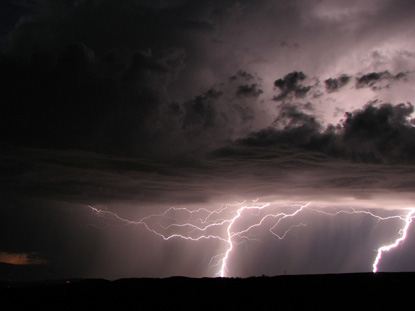
But when I turned around to head home, we hit the jackpot. I decided to take a different route than the way in, one which took us westbound on highway 56 through Clayton, Gladstone and Springer, New Mexico. It just so happened that three much more organized storms were cooking right above this highway. The storm above was the first one we encountered. It had a serious looking downdraft that I didn't want to core punch, but it looked so promising that we headed straight for it. I've posted larger photos of these storms here.
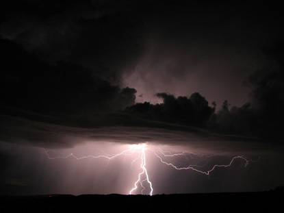
08/27/2006 @ 06:29:50 PM MDT
As we moved closer, the storm really started to show its true colors. I began to note many features common to mesocyclones, including a rain-free base, clear evidence of rotation, scud clouds and what looks like a detached tail cloud. I became very excited as I concluded I was observing my first supercell thunderstorm in the wild, but a check with Keith Hayes of the Albuquerque NWS office reveals otherwise:
Nice job on capturing these very interesting illustrations of weak or small thunderstorms exhibiting key rotational signatures which you have correctly identified. I would be hesitant to call these true supercells. The features are there but the scale and intensity of the updrafts are well below the supercell category.
The storms never intensified to become true super cells, but you are seeing key features that would be evident if they had evolved into the much strong storm stage. Obviously some favorable wind shear (directional turning with increasing height) is evident, especially in the lower levels, but the environment is limiting the scale and intensity of the updrafts.
It's surprising how well defined some of the features are shown (the inflow band, the base of the updraft, the banding that indicates the rotation, the small roll cloud). However, the steroid version of the updrafts seems to be the key that is lacking.
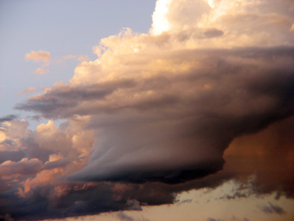
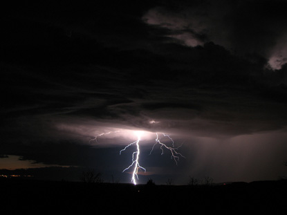
08/27/2006 @ 06:32:15 PM MDT
This is a roll cloud that was associated with this first storm.
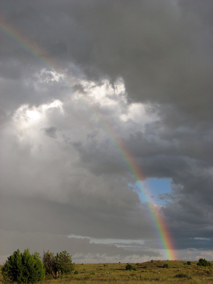
08/27/2006 @ 06:44:55 PM MDT
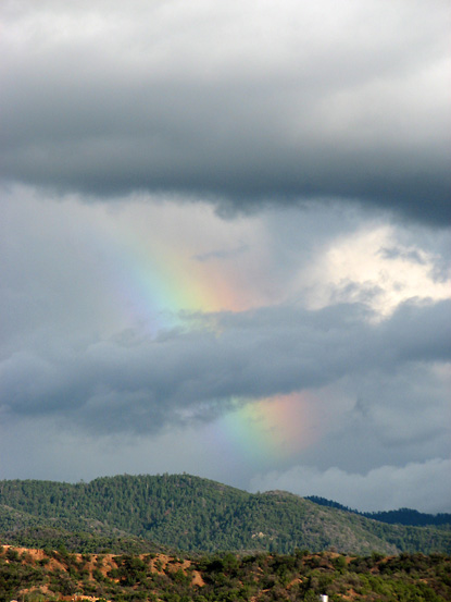
Storm one's rainbow after passing under the trailing end of the downdraft.
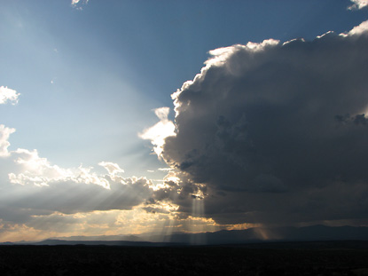
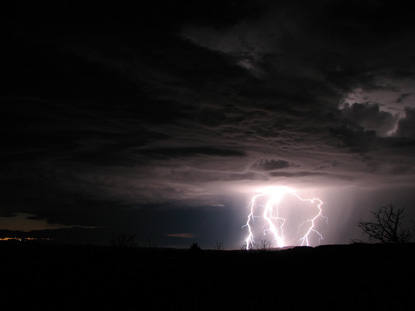
08/27/2006 @ 06:59:46 PM MDT
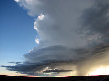
As I continued west on 56, we encountered another rotating thunderstorm, this one with an extremely long inflow band, another characteristic of a mesocyclone. It sat right over the highway but wasn't producing much precipitation.
08/27/2006 @ 07:22:41 PM MDT
Looking east toward Texas and a large storm partially occluded by cell 2's inflow band.
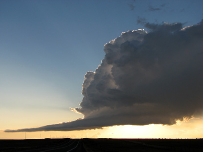
08/27/2006 @ 07:29:23 PM MDT
An even bigger storm in west Texas lit by the setting sun.
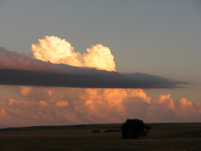
08/27/2006 @ 07:21:26 PM MDT
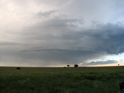
Finally, another compact thunderstorm showing evidence of rotation. This one didn't appear to be much of a rainer.
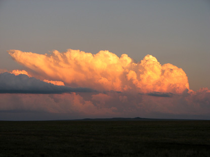
08/27/2006 @ 07:21:14 PM MDT
A close-up of what could be described as a negative or reverse anvil.
posted by guruphiliac @ 9:08 AM
0 comments
![]()
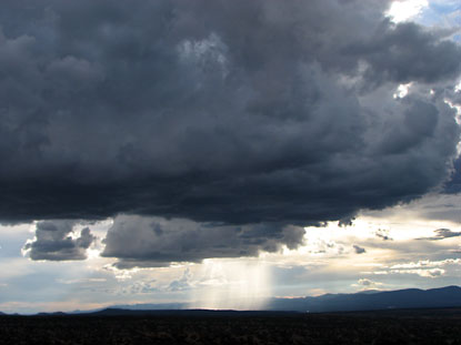
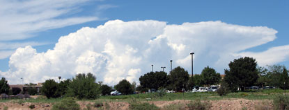
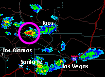 A fairly substantial thunderstorm blossoms a bit west-southwest of Taos, New Mexico, with a decent backhanging anvil.
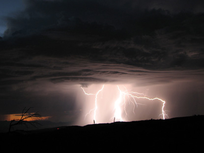
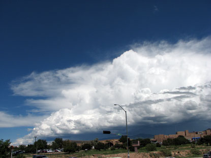
 The storm's approach makes this a short movie. Just under a quarter-inch of rain fell after the 27-mph gust front passed.
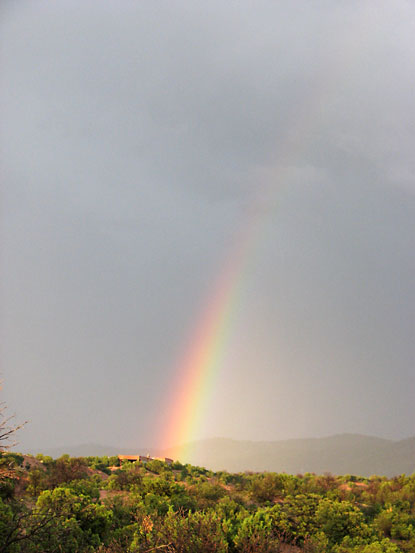
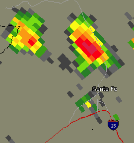
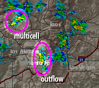 Outflow from a dissipated storm on the east slope of the Sangre de Christo mountains begins to invade Santa Fe on the west slope.
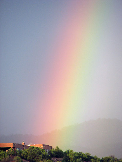
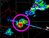 Evening convection fires up about 50 miles southeast of my backyard.