Santa Fe Tornado Debriefing
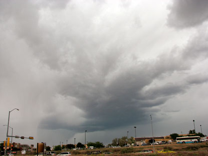
The first week of June brought severe weather to Santa Fe. This updraft was severe warned for hail, but didn't drop much in town. However, it did rain quite a bit.
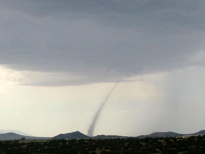
5 days later, on Saturday, June 9, I was readying to go chase a cell that was rapidly forming over Cochiti Pueblo. I looked out the window to note progress and was utterly shocked to see this landspout at La Bajada hill south of town. My gear was already in the truck, and by the time I moved to record the event it was over. This photo was taken by Peter Breslin.
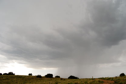
I jumped in the truck and rushed to the storm. I got under the updraft about 20 minutes after it had sucked up and transported the landspout. There was a nice rain-free base, but it was high at over 12,000 ft., making it less likely a tornado producer.
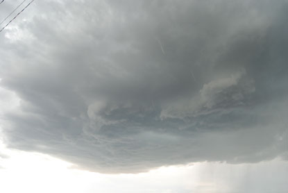
But the updraft did put on a bit of a show. I'm not sure if this qualifies as a wall cloud, but it was unusual for an updraft in Santa Fe County.
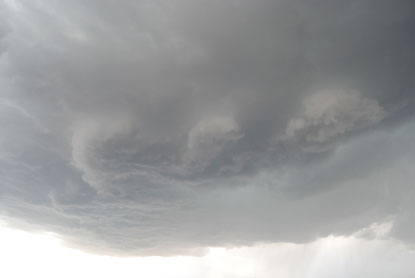
Here it looks like three separate wall clouds.
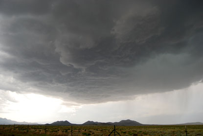
I'm inclined to believe this storm had some rotation when I was taking these pictures. But it went linear as it crashed into the Sangre de Christos, ending Santa Fe's big day in Tornado Alley.


0 Comments:
Post a Comment
<< Home